There Is a Frequency That the Wealthiest Families Have Used for Generations and Most People Will Never Know It Exists
>>> Open the Door <<<

Why does your smartphone GPS suddenly fail the moment you walk into a dense city? The culprit is the urban canyon effect, where towering skyscrapers block direct satellite signals and bounce radio waves around like pinballs. Because these reflected signals travel longer distances, your device miscalculates its actual position and leaves you wandering around the wrong block. Fixing this navigation breakdown requires understanding how interference disrupts your hardware and using the right calibration tricks to keep your smartphone on track.
Why Tall Buildings Break Your Smartphone GPS
Downtown navigation relies on a steady stream of data from satellites orbiting thousands of miles above the earth. When you walk between skyscrapers, your smartphone loses line of sight with most of those transmitters. The surrounding concrete and glass act as massive shields, blocking weak radio frequencies before they reach your internal receiver. Because your phone needs data from at least four distinct satellites to pinpoint your location, losing those connections stalls your mapping apps right when you need them most.
Understanding the Urban Canyon Effect
Streets lined with multi-story towers form deep corridors that engineers call urban canyons. These structural walls trap your smartphone between vertical barriers, limiting the sky view to a narrow strip overhead. Satellites positioned low on the horizon disappear entirely behind the architecture, reducing the available constellation of tracking points. Your device struggles to calculate a stable position because the visible satellites cluster together in one tiny patch of sky instead of spreading out across the entire horizon.
How Signal Bouncing Confuses Your Location
Radio waves cannot penetrate solid steel and thick concrete, so they bounce off building facades instead of traveling in straight lines. This phenomenon creates multipath interference, meaning your smartphone receives delayed signals that ricochet off a glass window across the street before hitting your antenna. Because radio waves travel at a constant speed, your device assumes a longer travel time means the satellite is much farther away than it actually is.
He Was Drowning in Bills and Burnout Until a Simple Daily Ritual Rewired His Brain for Wealth in Less Than a Week
>>> Start Your Shift Today <<<

The receiver measures the time it takes for a bounced signal to arrive.
The internal software assumes the radio wave traveled in a direct, straight line.
The system calculates a false distance and places your smartphone icon two blocks away from your actual spot.
Quick Software Adjustments to Restore Navigation
When your smartphone loses its bearings among skyscrapers, you don’t always need to restart the device or wait for a clear sky. A few fast software tweaks and physical resets often clear up the confusion. Your handset relies on a mix of internal magnetic sensors, local Wi-Fi nodes, and cell towers to guess your spot on the grid. Adjusting these settings gives your navigation app a fresh batch of reliable data.
Calibrating Your Compass and Sensors
Your smartphone contains a tiny magnetometer that acts as a compass, but metal structures and electrical interference frequently throw off its readings. When your map icon starts spinning or points backward, you need to manually reset the internal hardware. You can clear magnetic interference by moving your device through a specific physical pattern in the air.
Hold your smartphone firmly in your hand.
Extend your arm out in front of you.
Move the device smoothly through the air in a continuous figure-eight pattern.
Tilt your wrist slightly during the motion to rotate the phone on all three axes.
Repeat this motion three or four times until the compass accuracy warning disappears on your screen.
Enabling High Accuracy Mode and Location Permissions
Cellular signals alone often lack the precision needed to pinpoint your exact lane in a dense urban corridor. Your smartphone solves this problem by pulling data from nearby Wi-Fi routers and Bluetooth beacons. Turning on high accuracy mode combines these ambient radio frequencies with satellite data to triangulate your position much faster.
Open your device settings and locate the location or privacy menu.
Turn on Wi-Fi and Bluetooth scanning even if you are not actively connected to a wireless network.
Check your mapping app permissions to confirm that precise location access is enabled rather than approximate location.
Hardware Upgrades and External Tools for Tough Streets
Software adjustments help resolve minor positioning errors, but severe urban canyons often overwhelm standard internal smartphone hardware. When towering buildings block most of the sky, your device needs extra help to maintain a reliable lock on satellite networks. Upgrading your gear or changing how you position your handset inside the vehicle makes a massive difference in signal stability.
Using External Bluetooth GPS Receivers
An external GPS receiver connects to your smartphone wirelessly via Bluetooth to bypass the limitations of built-in phone chips. These pocket-sized pucks contain advanced antenna arrays that capture signals from multiple satellite constellations at the same time. Many modern external units support dual-frequency tracking, meaning they receive signals on two distinct radio bands simultaneously. This dual-band capability cancels out the timing errors caused by signal reflections bouncing off glass and steel facades. Your smartphone simply delegates the heavy lifting of location tracking to the external puck while continuing to run your preferred mapping application.
Choosing the Right Dashboard Mount for Clear View
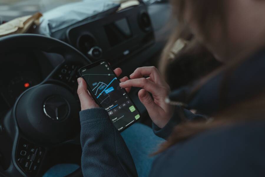
Mounting a smartphone low down on the center console or near the air vents often ruins signal reception in heavy traffic. Your vehicle roof and dashboard frame block a huge portion of the sky, leaving your internal antenna starved for direct satellite data. Installing a high-visibility windshield mount places your smartphone much closer to the glass and gives the internal receiver a wider field of view overhead.
Thousands of People Were Struggling With Money Until They Discovered This One Ancient Secret Hidden in Sound
>>> Unlock It Now <<<

Clean the interior windshield glass thoroughly with rubbing alcohol to remove oils before attaching any suction mount.
Position the mount high on the windshield just below the rearview mirror without obstructing your forward driving view.
Angle the smartphone screen slightly upward toward the upper windshield so the internal antenna points directly at open sky.
Choosing the Best Navigation Apps for Dense Cities
Navigating a metropolis on foot or behind the wheel requires software designed to handle interference from towering buildings. Standard routing platforms often fail when concrete corridors block live satellite feeds. Choosing the right navigation software keeps your smartphone on the correct path even when connection drops happen.
Offline Maps and Vector Rendering Benefits
Downloading local maps ahead of time reduces reliance on live data connections that drop out in concrete canyons. When you pull up an active route over cellular data, your smartphone constantly requests tile updates from remote servers. Tall structures block these requests, leading to frozen screens and outdated directions.
Offline map packages store entire city grids directly on your device storage. Because these files use vector rendering instead of static raster images, the app draws roads and landmarks instantly using your local hardware processor.
The application renders vector graphics smoothly without needing a continuous download stream.
Your smartphone ignores dead zones because all street data is already present locally.
Battery consumption drops significantly since the internal modem stops searching for missing cell towers.
Comparing Popular Navigation Platforms for Downtown Walking and Driving
Google Maps, Apple Maps, and specialized pedestrian apps handle urban interference in very different ways. Google Maps offers unmatched global coverage and robust offline downloads, but its pedestrian mode sometimes struggles to snap your location to narrow sidewalks instead of the middle of the street. Apple Maps features detailed 3D building models and improved lane guidance for drivers, which helps you visualize complex downtown interchanges before you reach them. Specialized walking applications focus specifically on pedestrian infrastructure, prioritizing walking paths through parks and plazas over vehicular tunnels and restricted highways.
Google Maps wins for comprehensive business listings and reliable offline vector downloads.
Apple Maps provides superior visual cues for drivers dealing with multi-level urban roadways.
Dedicated pedestrian apps prioritize exact sidewalk alignment over fast vehicular routing.
Troubleshooting Persistent GPS Issues on Your Smartphone
When your smartphone ignores every software tweak and still places you three blocks away from your actual destination, the problem runs deeper than a simple cache glitch. Urban canyons push mobile hardware to its absolute limit, and standard navigation apps cannot compensate for physically damaged or corrupted internal components. Resolving stubborn location failures requires moving past basic settings and investigating the actual health of your device.
Clearing App Cache and Resetting Network Settings
Corrupted cache files store outdated satellite ephemera data, meaning your mapping app constantly searches for transmitters that have already shifted positions in orbit. Clearing this stagnant data forces the operating system to download a fresh constellation almanac and establish a clean connection with nearby cell towers.
Open the settings menu on your smartphone and navigate to the application manager.
Select your preferred navigation app from the list of installed programs.
Tap on storage, and then choose the option to clear the cache.
Return to the main settings menu and locate the system reset options.
Tap on reset network settings to wipe out corrupted Wi-Fi, Bluetooth, and cellular routing profiles.
When to Check for Internal Antenna Damage
A hard drop on the pavement or years of heavy pocket wear can physically disconnect the tiny coaxial cables linking your motherboard to the GPS antenna. If your smartphone maintains zero satellite locks even out in the open countryside, the internal receiver hardware is likely broken or loose. Technicians must open the casing to solder the detached antenna or replace the logic board module entirely.
She Pressed Play on a Strange Audio Track and Within Days Her Financial Reality Started Shifting in Ways She Could Not Explain
>>> See How It Works <<<

The smartphone drops connection constantly even when you stand in an open park without tall buildings overhead.
Restarting the device and reinstalling the operating system fails to restore satellite visibility in diagnostic apps.
External Bluetooth receivers work perfectly while the built-in location chip reports zero visible satellites.
Conclusion
Fixing navigation failures in dense urban areas requires a combination of smart sensor calibration, optimized software permissions, and offline map downloads. When towering skyscrapers block satellite signals, your smartphone relies on these adjustments to maintain an accurate position on the grid.
Upgrading to external hardware or positioning your device properly near the windshield also helps bypass stubborn interference. Put these strategies into practice on your next trip downtown, and you’ll never lose your way again.
What If the Only Thing Between You and the Life You Deserve Is a Hidden Wealth Code Waiting to Be Activated
>>> Open the Door <<<